The New York State Department of Environmental Conservation (DEC) today announced the release of a five-year (2025–2029) Fisheries Management Plan for Lake George, Warren County. With this plan in place, DEC will focus on collecting data primarily on lake trout, Atlantic salmon, and black bass to inform a subsequent long-term fisheries management plan. DEC will also implement a net pen release strategy to improve recruitment of Atlantic salmon to the fishery and help determine the fate of the existing Atlantic salmon stocking program.?
“DEC is proud to continue our decades-long commitment of responsible fisheries management in Lake George through this five-year, data-driven management plan,” DEC Commissioner Amanda Lefton said. “Informed by angler survey data and DEC biologists’ research and observations, DEC will engage in data collection and population assessments for key species in the ‘Queen of American Lakes’ to develop a long-term plan focused on the health of these species and of Lake George.?DEC is grateful to the public for participating in the revealing 2023 angler creel surveys and for members of the Lake George fishing community for bringing DEC their concerns.”
Using the management plan, DEC will expand data collection to include tracking the population of the long-stocked Atlantic salmon, assessing status and overall health of adult lake trout, and monitoring the black bass population. This new plan will address gaps in the data to inform a subsequent, long-term fisheries management plan to better manage and improve the populations of these species.
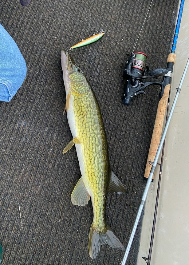
In 2023, DEC conducted an angler creel survey that reported both recreational and professional anglers seeking Atlantic salmon or lake trout had concerns with the rate and size of their catches. These data indicate overall poorer health in the lake trout population despite strict harvest regulations. Over the upcoming years, DEC will collect more information on the trout population to determine future management actions to increase the quality of the lake trout in the fishery.?
DEC determined that existing Atlantic salmon stocking?is failing to create a viable, sustainable fishery for this sought-after species based on data from the?2023 angler creel survey and the overall poor survival rate of stocked Atlantic salmon. DEC will employ a net pen release strategy, which protects hatchery-raised yearling salmon within the safety of a net as they acclimate to their new waters.?DEC will also implement a standardized sampling protocol to assess the ongoing health of black bass in Lake George.
“The Lake George Fisheries Management Plan supports stellar recreational fishing access to public lands and waters while prioritizing the overall health of the ecosystem,” said DEC Region 5 Director Joe Zalewski. “DEC management promotes a healthier Lake George and fosters diverse angling opportunities for both local and visiting anglers. Through this plan, DEC fisheries biologists will better understand the fish community within Lake George to provide outstanding angling as visitors to the fishery have come to expect.”
Lake George remains one of the Adirondack’s cleanest lakes and has long been a popular tourist destination, attracting anglers from around the world to the region. The Lake George Fisheries Management Plan is just one way that DEC’s investments in habitat enhancement, angler enjoyment, and research will help continue to protect Adirondack fisheries. DEC recently announced a Final Adirondack Brook Trout Pond Management Plan to guide future species management and, in 2025, DEC announced a $100 million investment from the Clean Water, Clean Air and Green Jobs Environmental Bond Act and other capital funds for State hatchery improvements, including enhancements at the Adirondack Fish Hatchery that will help construct a new brook trout broodstock building.